Felix Schwarz · 15 September 2026
Poland's River Corridors Spark Regional Biodiversity Networks Beyond Major Cities
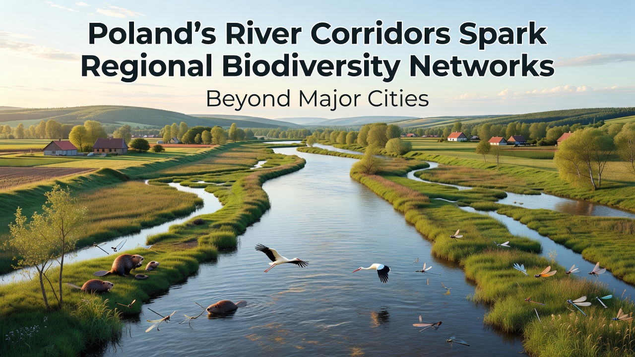
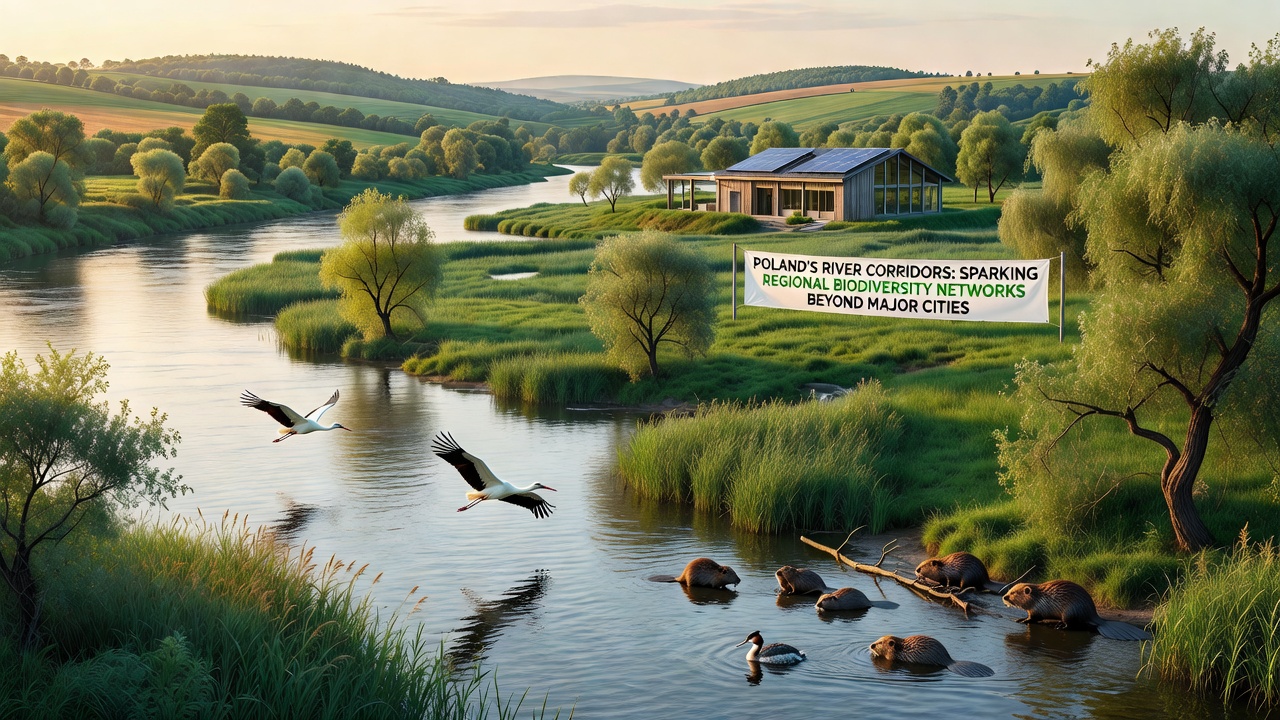
Poland's major river systems have formed the backbone for emerging biodiversity networks that extend well beyond urban centers like Warsaw and Krakow, according to recent environmental assessments. The Vistula and Oder rivers along with their tributaries create linear habitats that link protected areas across rural regions, and data from the Polish Ministry of Climate and Environment shows these corridors support over 300 bird species plus numerous mammal and plant populations. Researchers note that these waterways function as migration routes while also providing breeding grounds in areas where agricultural intensification has reduced natural cover elsewhere.
Connectivity stands out as a key factor in these developments. River valleys maintain strips of riparian vegetation that allow species movement between fragmented forests and meadows, and studies from the European Environment Agency indicate such corridors increase habitat viability by up to 40 percent compared with isolated patches. Local governments in provinces such as Lublin and Podkarpackie have mapped these networks to guide land-use planning that avoids disruption to the flow of water and wildlife alike.
River Systems Driving Regional Connectivity
The Vistula River stretches nearly 1,000 kilometers from the Carpathians to the Baltic Sea, and its floodplain supports wetlands that host amphibians and invertebrates critical to the food chain. The Oder River follows a similar path along the western border, where cross-border cooperation with Germany has expanded monitoring of fish populations and floodplain restoration projects. Smaller tributaries like the Warta and Bug add branching connections that reach into central and eastern Poland, creating a web that researchers describe as essential for maintaining genetic diversity among populations separated by farmland.
Observers point out that these corridors operate differently from traditional national parks because they cross multiple administrative boundaries. Data collected through satellite imagery and field surveys reveals that protected zones along riverbanks now total more than 150,000 hectares outside major cities, with expansion planned through 2027. This growth stems from EU-funded initiatives under the Natura 2000 framework, which requires member states to maintain ecological coherence across landscapes.
Expansion Beyond Urban Boundaries
While attention often focuses on city green spaces, evidence shows the strongest biodiversity gains occur in rural stretches where river corridors intersect with former industrial sites and abandoned farmland. In the Świętokrzyskie region, for example, restored oxbow lakes along the Vistula have drawn back otter populations that had declined for decades, and similar patterns appear along the Noteć River in Greater Poland. Municipalities there have adjusted zoning rules to preserve buffer zones of at least 100 meters on either side of main channels, reducing erosion and allowing vegetation to regenerate naturally.
Community involvement plays a measurable role. Local NGOs coordinate volunteer surveys that feed into national databases, and figures from the Institute of Nature Conservation in Krakow show participation rates rising steadily since 2022. These efforts complement official monitoring programs that track changes in species composition every two years, providing baseline information for adaptive management decisions.
Monitoring and Future Milestones
Standardized protocols now cover water quality, vegetation structure, and wildlife movement across the corridor network. Equipment installed at strategic points records temperature, flow rates, and acoustic signals from bats and birds, while drone flights capture seasonal changes in canopy cover. Results feed into models that predict how climate variations might affect connectivity in coming decades.
September 2026 marks the start of an expanded joint survey involving Polish and EU teams that will assess corridor effectiveness using updated remote-sensing tools and ground-truthing across 12 additional river sections. The initiative builds on earlier phases that identified priority restoration sites and will generate public datasets for use by regional planners and academic researchers.
Challenges and Coordinated Responses
Flood control infrastructure sometimes conflicts with habitat goals, yet integrated approaches have emerged in several basins. Engineers now design embankments with wildlife passages and side channels that maintain hydraulic function while allowing species passage, and pilot projects along the lower Vistula demonstrate reduced maintenance costs alongside improved ecological indicators. Agricultural runoff remains another pressure point, prompting buffer strip requirements that trap nutrients before they reach main channels.
Cross-sector collaboration has produced practical guidelines that align farming subsidies with corridor protection, and data from the Polish Agricultural Advisory Center indicates higher adoption rates where economic incentives match ecological targets. These measures help sustain the networks without imposing uniform restrictions across all land uses.
Conclusion
Poland's river corridors continue to shape biodiversity outcomes across non-urban regions through documented habitat linkages and coordinated management. Ongoing data collection and the September 2026 survey phase will supply further evidence on network performance, supporting decisions that balance development pressures with ecological requirements. The systems already in place demonstrate how linear features can deliver measurable conservation benefits when planning integrates water management, land use, and species monitoring at regional scales.