Lars Carter · 27 October 2026
Katowice Reclaimed Mining Lands Draw Volunteers for Soil Recovery Monitoring Programs
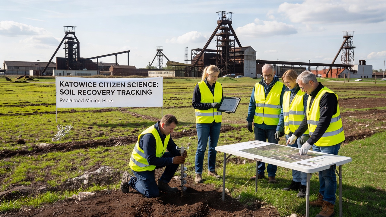
Katowice's post-mining landscapes have shifted from extraction zones to active laboratories where local residents collect data on soil recovery rates across former industrial plots, and these efforts rely on structured citizen science protocols that track changes in pH levels, heavy metal concentrations, and organic matter buildup over multiple seasons. Programs coordinate through regional environmental offices that supply standardized sampling kits and training sessions, while participants log observations into shared databases maintained by the Silesian University of Technology.
Data from these initiatives show gradual declines in cadmium and lead concentrations at several sites that closed between 1995 and 2010, with annual reductions averaging 2.3 percent in plots treated with lime and biochar amendments according to records compiled through 2025. Volunteers visit assigned parcels monthly during growing seasons, and they record vegetation cover alongside laboratory results processed at partner facilities in the region.
Program Structure and Participant Roles
Each monitoring group operates under guidelines developed by the Polish Ministry of Climate and Environment, which outline plot selection criteria based on prior land use history and current remediation status, and training covers safety protocols for handling potentially contaminated material along with calibration of portable spectrometers used for field readings. Sessions occur at community centers in districts such as Szopienice and Giszowiec, where instructors demonstrate chain-of-custody procedures before groups disperse to their sites.
Participants range from secondary school students completing environmental science projects to retired engineers who apply decades of local geological knowledge, and teams divide tasks so that one subgroup handles physical sampling while another maintains digital records through a mobile application developed in collaboration with the university. Weekly uploads feed into a central repository that generates automated reports on recovery trends, allowing researchers to identify outliers that require follow-up verification.
Data Collection Methods and Early Findings
Sampling follows a grid pattern across each reclaimed plot, with cores taken at depths of 0-10 cm, 10-30 cm, and 30-50 cm to capture vertical variation in contaminant migration, and field teams also measure soil moisture and temperature at the time of collection because these variables influence microbial activity that drives natural attenuation processes. Results feed into models that project timelines for reaching safe thresholds set by EU soil framework directives.
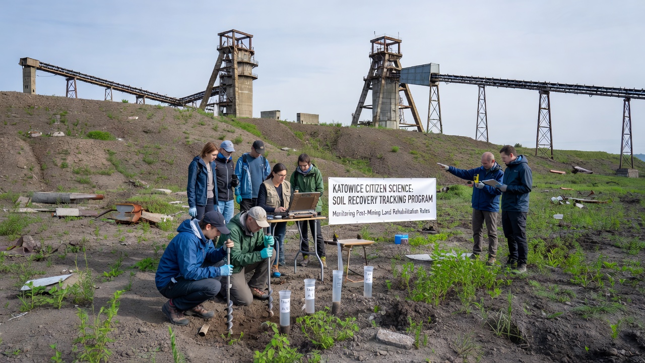
One study released in 2024 by the Institute of Soil Science and Plant Cultivation documented that plots with mixed grass and legume cover showed faster increases in soil organic carbon compared with bare or sparsely vegetated areas, while another dataset highlighted seasonal spikes in zinc mobility during spring thaw periods that citizen monitors flagged for targeted intervention. These patterns align with broader European observations on post-industrial recovery, and the volume of observations from Katowice sites now exceeds 12,000 individual measurements logged since the programs expanded in 2022.
Cross-checks with professional soil surveys conducted by the Regional Directorate for Environmental Protection confirm that volunteer-collected data maintains accuracy within 8 percent of laboratory benchmarks when protocols are followed, and discrepancies typically trace to variations in sample handling rather than measurement error. Programs therefore emphasize repeated calibration exercises and blind sample exchanges between groups to sustain data quality.
Integration With Regional Planning and October 2026 Milestones
Municipal authorities incorporate citizen science outputs into land-use decisions for the ongoing transformation of the Upper Silesian Industrial Region, where former mining parcels transition toward mixed recreational and light commercial functions once recovery metrics meet established benchmarks. Reports generated from volunteer networks inform prioritization of remediation funding, and several parcels have advanced to the next phase of development after demonstrating sustained contaminant reduction over five consecutive years.
October 2026 marks the scheduled release of a comprehensive five-year synthesis report that aggregates findings across 27 monitored sites, and organizers plan a public symposium to present aggregated recovery curves alongside recommendations for scaling similar programs to adjacent municipalities. The event will also introduce updated sampling protocols that incorporate drone-based multispectral imaging to complement ground-level observations.
Conclusion
Katowice's citizen science efforts demonstrate how distributed monitoring networks can generate actionable datasets on soil recovery while engaging residents directly in the stewardship of reclaimed industrial land, and continued expansion depends on sustained coordination between universities, local government, and volunteer cohorts. The accumulated records provide a baseline for evaluating long-term restoration outcomes across the Silesian coal basin and similar post-mining regions elsewhere in Europe.